2071 Upper Clyde, Lower Clyde River, NS
ASSESSED 2026$251,700Registry record — assessment, sales, lot, structure; no MLS® content
Taxed on $193,200 of a $251,700 assessment — $58,500 sheltered by the NS assessment cap.
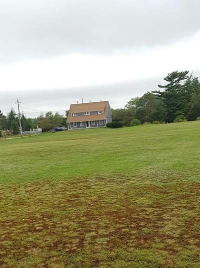
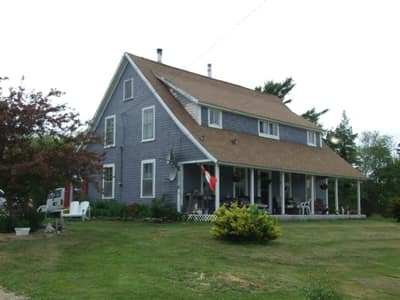
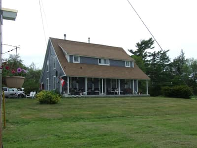
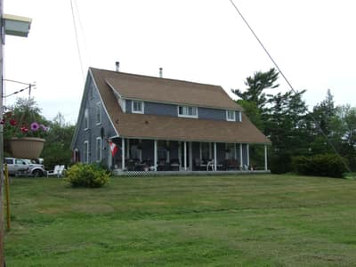
Past MLS listings on this property — how it was marketed each time it came to market, distinct from the registry sales above. Each opens the full listing. Source: NSAR VOW feed.
- Parcel DossierSix sections, one document — the parcel, the ground, the ledger, the evidence, the cost, the screens.MEMBER · READY›
- Site Plan · TerrainS-1 and S-2 — dimensions, then the ground in section. Lot on record: 3.86 ac.MEMBER · 2 SHEETS›
- Tax & closingDeed transfer, registry fees and the year-one tax bill, on the published rates.FREE›
- Sold compsRegistry sales around this parcel, on your own radius and window.MEMBER›
Latest assessment $251,700. A government record, not an estimate — ScotianAtlas computes no consumer valuation.
2026 assessments in Lower Clyde River run $6,800 to $207,380 (10th–90th percentile, 95 properties). Position within the distribution is a fact of the roll, not an opinion of value.
Compiled from provincial mapping — approximate, not a legal survey. Full dimensions and print live on the Site Plan sheet.
Assessment & sales facts are the public record — PVSC, under the Nova Scotia Open Data licence. MLS® data © Nova Scotia Association of REALTORS®. Nothing on this page is paid placement.
https://www.scotianatlas.com/property/2069-upper-clyde-road-north-east-point-10071585 · Retrieved Sep 2, 2026 · NOT A LEGAL SURVEY